HyInfra: Interactive maps
As a part of the HyInfra-project, Ocean Hyway Cluster has developed two interactive maps: Infrastructure of hydrogen-based fuels in Norway and Global low-carbon Vessels. The maps are under continuous development.
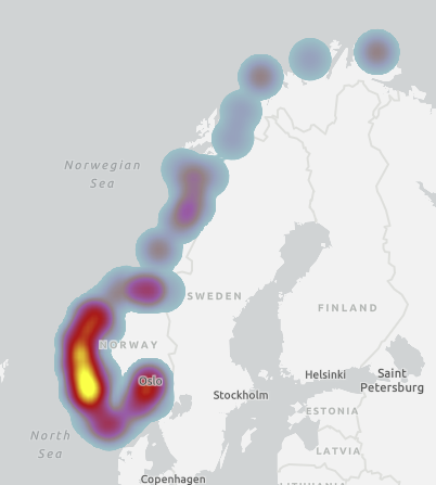
Figure 1: Heat map of Infrastructure of hydrogen-based fuels in Norway
Milestones
2022, October: Vessel map opens for everyone through a subcription.
2022, March: Infrastructure map opens for everyone through a subcription.
Infrastructure of hydrogen-based fuels in Norway
The infrastructure map, created as part of the HyInfra project, shows planned production of hydrogen-based fuels in Norway broken down by fuel type. The new map provides a unique opportunity for members to get an overview of everything maritime hydrogen-related happening in Norway right now, as well as hinting towards where future hydrogen hubs will (most likely) be located. The map also shows bunkering locations and ongoing vessel projects with more detailed information.
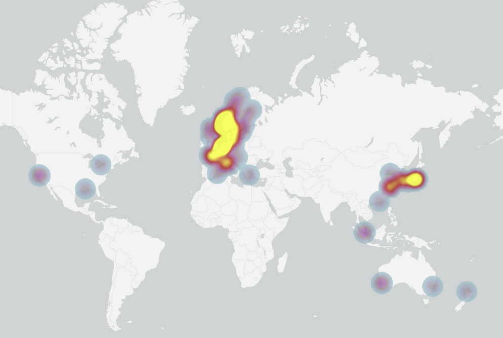
Figure 2: Heat map of Infrastructure of Global low-carbon Vessels
Global low-carbon Vessels
The vessel map includes vessel initiatives that use the following fuels: Hydrogen (compressed and liquid), Ammonia, Onboard methanol – reforming, Liquid Organic Hydrogen Carrier and Metal Hydride
The latest update of the interactive map shows hydrogen vessel initiatives around the world broken down by project stage:
Sailing
Ready for Retrofit
Construction and demonstration
Concept and Feasibility Studies
The new map provides a unique opportunity for members to get an overview of all hydrogen vessel projects around the world right now.
Background
HyInfra is a project led by Ocean Hyway Cluster with an overall goal of reducing uncertainty related to future hydrogen infrastructure projects within the maritime industry. The project began in January 2020 and has
The infrastructure map shows planned production of hydrogen-based fuels in Norway broken down by fuel type. The new map provides a unique opportunity for members to get an overview of everything maritime hydrogen-related happening in Norway right now, as well as hinting towards where future hydrogen hubs will (most likely) be located. The map also shows bunkering locations and ongoing vessel projects with more detailed information.
Contact
Would you like more information about our interactive maps? Feel free to get in touch.
